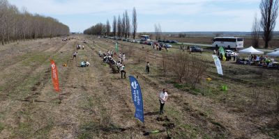
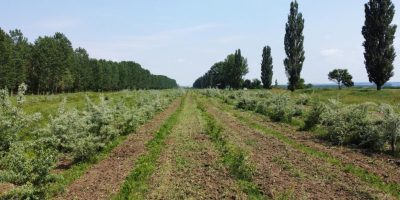
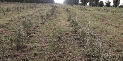
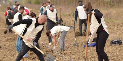
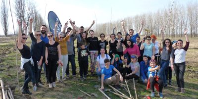
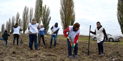
Location: Chirnogi Commune, Călărași County
GPS coordinates: Lat. 44.1023436, Long. 26.6156356
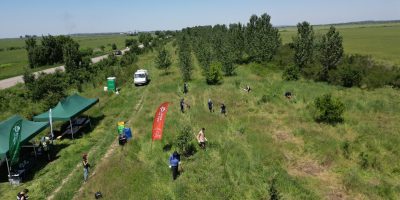
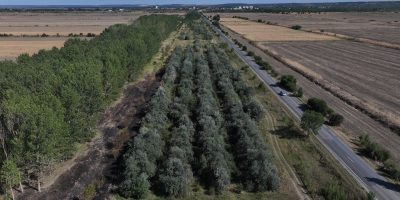
Obiectiv: înființare perdea forestieră pentru protecția unei căi de acces
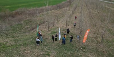
Project start: Autumn 2017
Planted area: 9.5 hectares
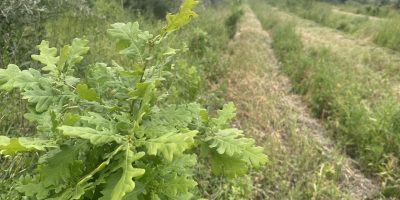
Species planted: Euro-American poplar (Populus x. euramericana) , downy oak (Quercus pedunculiflora), Pennsylvania ash (Fraxinus pennsylvanica), Turkestan elm (Ulmus pumila), dog rose (Rosa canina), Russian olive (Elaeagnus angustifolia), common privet (Ligustrum vulgare), pedunculate oak (Quercus robur), white poplar (Populus alba), field maple (Acer campestre), and wild pear (Pyrus pyraster).
Canopy closure: Autumn 2025 for the area where poplar is the main species; autumn 2028 for the remaining areas.
Current project status: Replacement planting and maintenance work
Partners
Companies: 1&1, Allianz Technology, Biodeck, BCR Asigurări de Viață, BCR Bank, Carrefour, Coca-Cola HBC, Coca-Cola Startarium, Colonnade Insurance, Dell, Deutsche Telekom Services, DLOG, Dr. Reddy’s, ESOP Consulting, Engie, Equilobe, Finastra, Filip & Company, Grecu și Asociații, Hartmann, Henkel Romania, ING Bank, ING Tech, Kinderpedia, Lexis, McDonald’s, McKinsey & Company, Metrosystems, Microchip Technology Inc., Mucca Production & Advertising, NEPI, Nomenius, Pastel, Premier Energy, Prietenii Ecoxtrem, Rohde & Schwarz, Stefanini Group, Siemens Energy, TPA Solutions, Tenaris Silcotub, Thoughtworks, and individual donors.
Institutions: Danubius High School, Economic High School, and Mihai Eminescu High School in Călărași (participants in the Ecoprovocarea competition), Romsilva, Călărași Forest Directorate, and Chirnogi Town Hall.