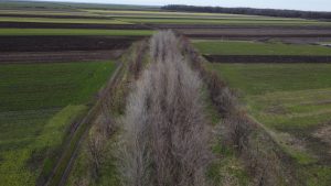
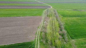
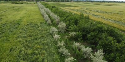
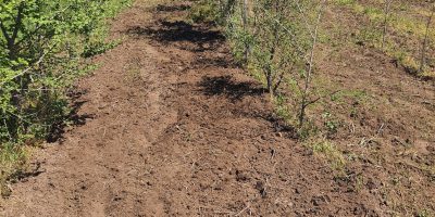
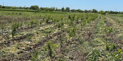
Plot 2. Communal Platform: Lat. 43.897438, Long. 23.497956
Plot 3. Bistreț Water Intake Station: Lat. 43.902368, Long. 23.548420
Objective: Establishment of a shelterbelt to protect access roads, public infrastructure, and agricultural land.
Start proiect: toamnă 2019
Planted area: 2 hectares
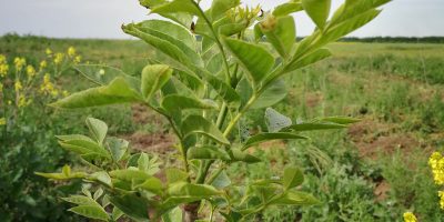
Species planted: Manna ash (Fraxinus ornus), European ash (Fraxinus excelsior), Turkestan elm (Ulmus pumila), black locust (Robinia pseudoacacia), and Russian olive (Elaeagnus angustifolia).
Current project status: Partial canopy closure; replacement planting is being carried out on a limited area.
Partners: OMV Petrom, through the Romania Plants for Tomorrow campaign.
Why establish the shelterbelt?
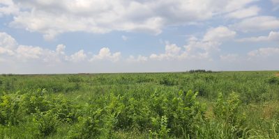
Bistreț Commune is severely affected by desertification, like many other localities in the southern part of Dolj County. Both soil analyses and on site observations have shown the advanced level of land degradation. Prolonged droughts and wind erosion have caused these soils to lose their fertility almost entirely.
Another challenge facing the locality is spring flooding. Heavy seasonal rainfall, together with snowmelt, cannot be absorbed by the limited natural vegetation, leading to flooding both in the Danube floodplain and around Lake Bistreț.
The land provided by Bistreț Town Hall covers approximately 2.5 hectares and consists of three separate plots located in different areas.
The Adopt a Tree programme, in partnership with OMV Petrom through the Romania Plants for Tomorrow campaign, is committed to establishing new shelterbelts on all three plots provided by the local authority.
Latest work carried out: Replacement planting on a limited area, spring 2026.