Chirnogi
Location: Chirnogi commune, Călărași county
GPS coordinates: 44.1023436, long.26.6156356
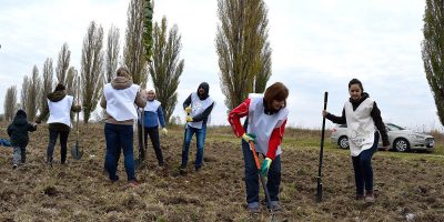
Objective: to create a forest belt for the protection of an access road
Project start: autumn 2017
Area: 9,5 ha
Area Planted: 9,5 ha
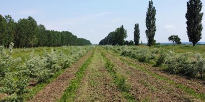
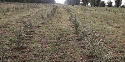
Species planted: Euro-American poplar (Populus x. Euramericana), oak (Quercus pedunculiflora), ash (Fraxinus excelsior), Siberian elm (Ulmus pumilla), rosehip (Rosa canina), willow (Elaeagnus angustifolia), dogwood (Ligustrum vulgare).
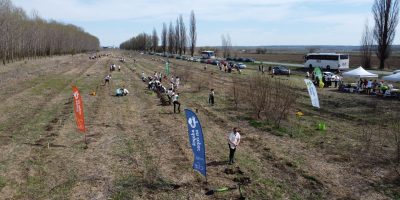
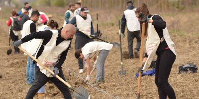
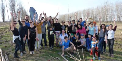
Volunteers involved: 2,095 people
Maturity stage: autumn 2025 (estimated)
Current status: ongoing
Partners
Companies: 1&1, Allianz Technology, BCR Asigurări de Viață, Carrefour,Coca-Cola HBC, Deutsche Telekom Services, ESOP Consulting, Equilobe, Grecu și Asociații, Hartmann, Henkel Romania, ING Bank, ING Tech, Metrosystems, Microchip Technology Inc., Mucca Production & Advertising, Lexis, Nomenius, Pastel, Premier Energy, Prietenii Ecoxtrem, Rohde&Schwarz, Stefanini Group, TPA Solutions, Tenaris Silcotub, Thoughtworks.
Institutions: Danubius, Economic and Mihai Eminescu high schools from Calarași (entered the Ecoprovocarea contest), Romsilva – Calarași Forestry Department, Chirnogi Town Hall.
Reason for choosing this location for the forest belt:
Chirnogi commune is located in the western part of Călăraşi county, 7 km north of the Danube river, in an area formed by the south-eastern extremity of the Burnasului Plain and the meadow compartment at the confluence of the Argeş river with the Danube river.
Every winter, the town faces snow blocks on the access roads, especially the blocking of the national road to Oltenita. Because of this, the local population is deprived of access to medical services, food, schooling, or work. Therefore, the establishment of the forest curtain here aims to protect the snow from DN 41, as well as to restore the Argeș river meadow.
The land provided by the City Hall of Chirnogi has an area of about 9,5 ha and is classified as degraded land.

